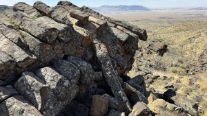
There is a perfect, short, easy trail in Alpine, Utah, that is just right for families. This trail crosses two bridges, parallels a tumbling creek, and overlooks Utah Valley, all in under a mile round trip. If you haven’t tried Three Falls Trail, put it on the top of your summer hiking list. We are sharing a shortened version of this trail that is perfect for kids!
Where is Three Falls Trail
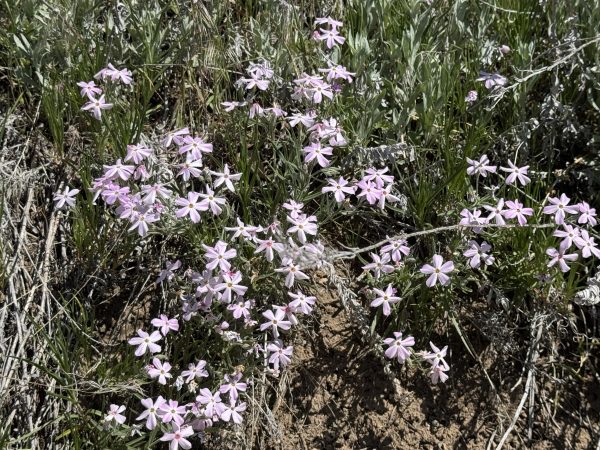
The Three Falls Trail is located in Alpine. There is a large trailhead parking lot where a lot of people begin the trail. If you start hiking from here, you will end up hiking about 5.0 miles. The trail is nice for wildflowers in May, but we are sharing a little easier version. We parked up further, right where the trail crosses the road, and hiked about 1/2 mile out to the views over the valley, and then back. This route was only 1.0 mile roundtrip. Find detailed directions to the parking spot at the bottom.
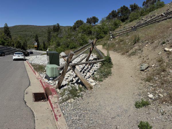
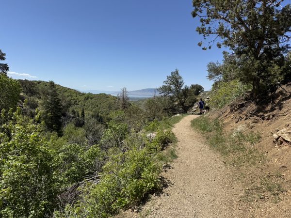
After you park along the road, follow the trail to the north. The trail does climb a bit, and the first part is sort of steep. This trail is also dog and bike friendly. Be on the lookout for bikes, as we were passed by at least a dozen.
Hiking the Trail
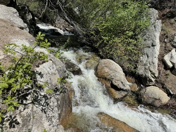
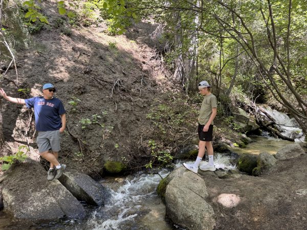
After about a tenth of a mile, the creek comes into view. When we were there in the Spring, the water was running heavily, and you could hear the Three Falls splashing. Though the river has many small cascades, there was no definite point where we said, “That’s one of the falls!” Instead, we just enjoyed the chuckling water as it ran along the side of the trail. The trail also levels out after this initial climb.
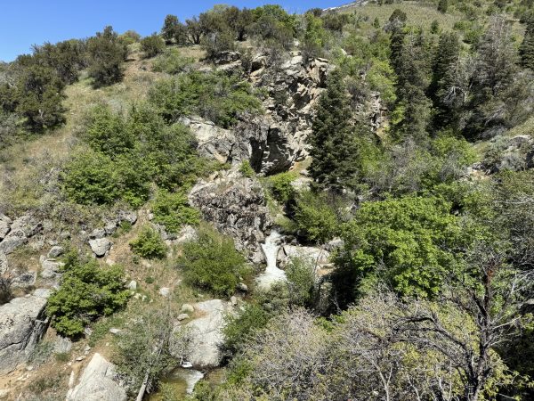
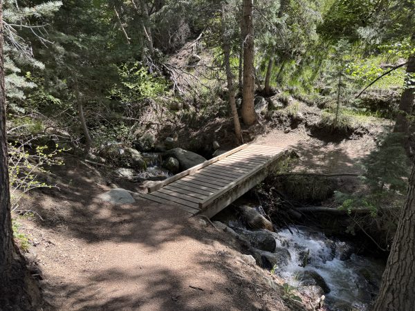
At two-tenths of a mile, you come to the first bridge. This one is the largest and is a great place to stand and look over the rail to the water below. You can access the creek a little on the far side of the bridge. The water is very cold, and it still isn’t easy to reach.
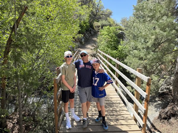
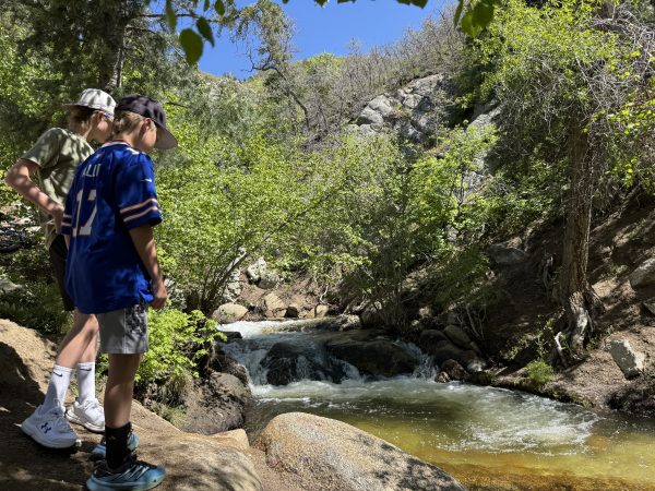
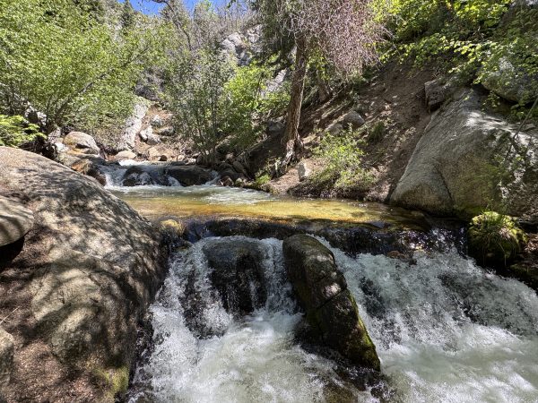
At a quarter mile up the Three Falls trail, a second, smaller bridge crosses the water again. This one is good for pictures. There is no railing, and it is much lower and closer to the water. It is also shady, so it’s a nice place to stop on a hot day.
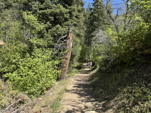
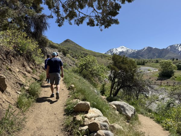
Walk a little further up the trail. At just .4 miles, the view opens up to the south, and you can see back toward Utah Valley. The look is unique as it is framed by the hills, and most views along the Wasatch Range are to the west, but this view faces south.
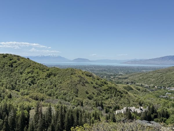
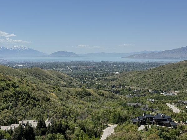
You can continue along the Three Falls Trail trail for many miles, but at a half-mile, it begins to drop down and twist away to the west. It is tempting to think that the trail will loop back to the road, but it doesn’t. We didn’t follow it for too much longer, but it is said to go all the way down and link to the Draper Trail System, so you could follow it for a long time. We think this first .4 miles is just right for little hikers!
Parking Information
We parked at the Three Falls Trail Upper Parking Area (this is labeled on Google Maps). Here is the link to the spot.
If you’d like to do a much longer hike, here is the link to the Three Falls parking area that is down below. There are a few other trails that start from this parking area, including the Vista Ridge trail.